
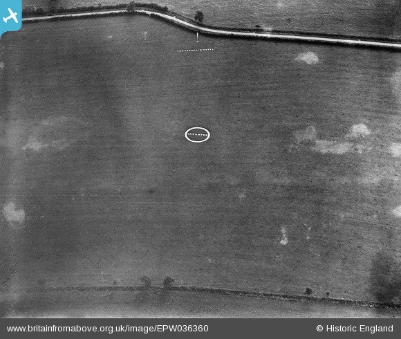
EPW036360 ENGLAND (1931). Loughton Airfield, Shenley Brook End, 1931
© Copyright OpenStreetMap contributors and licensed by the OpenStreetMap Foundation. 2025. Cartography is licensed as CC BY-SA.
Nearby Images (4)
EPW036360

EPW036358

EPW036359

EPW036361

Details
| Title | [EPW036360] Loughton Airfield, Shenley Brook End, 1931 |
| Reference | EPW036360 |
| Date | August-1931 |
| Link | |
| Place name | SHENLEY BROOK END |
| Parish | SHENLEY BROOK END |
| District | |
| Country | ENGLAND |
| Easting / Northing | 484319, 235220 |
| Longitude / Latitude | -0.77138948596189, 52.008575820669 |
| National Grid Reference | SP843352 |
Pins
Be the first to add a comment to this image!