
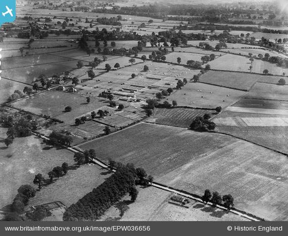
EPW036656 ENGLAND (1931). Farmland belonging to the Agricultural College (Harper Adams University College), Edgmond, from the north-west, 1931
© Copyright OpenStreetMap contributors and licensed by the OpenStreetMap Foundation. 2025. Cartography is licensed as CC BY-SA.
Nearby Images (3)
EPW036656
, Edgmond, from the north-west, 1931")
EPW018019
, Edgmond, 1927")
EPW018018
, Edgmond, 1927")
Details
| Title | [EPW036656] Farmland belonging to the Agricultural College (Harper Adams University College), Edgmond, from the north-west, 1931 |
| Reference | EPW036656 |
| Date | September-1931 |
| Link | |
| Place name | EDGMOND |
| Parish | EDGMOND |
| District | |
| Country | ENGLAND |
| Easting / Northing | 371055, 320066 |
| Longitude / Latitude | -2.4291398852287, 52.777068473856 |
| National Grid Reference | SJ711201 |
Pins
Be the first to add a comment to this image!