
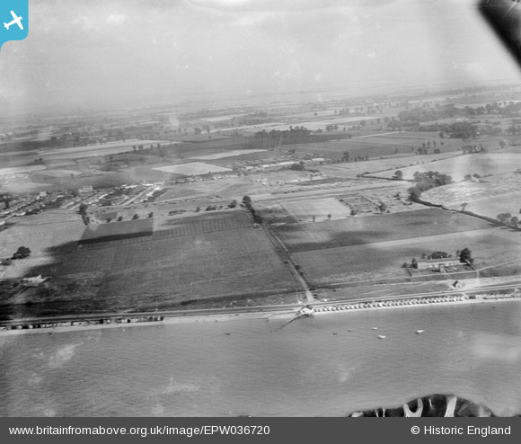
EPW036720 ENGLAND (1931). Fields to the east of Thorpe Bay, Southend-on-Sea, from the south-west, 1931
© Copyright OpenStreetMap contributors and licensed by the OpenStreetMap Foundation. 2025. Cartography is licensed as CC BY-SA.
Nearby Images (5)
EPW036720

EPW036743

EPW036718

EPW040963

EPW036699

Details
| Title | [EPW036720] Fields to the east of Thorpe Bay, Southend-on-Sea, from the south-west, 1931 |
| Reference | EPW036720 |
| Date | September-1931 |
| Link | |
| Place name | SOUTHEND-ON-SEA |
| Parish | |
| District | |
| Country | ENGLAND |
| Easting / Northing | 591868, 184526 |
| Longitude / Latitude | 0.76627416839338, 51.526519315254 |
| National Grid Reference | TQ919845 |
Pins
 bargee1937 |
Wednesday 16th of September 2015 01:15:22 PM |