
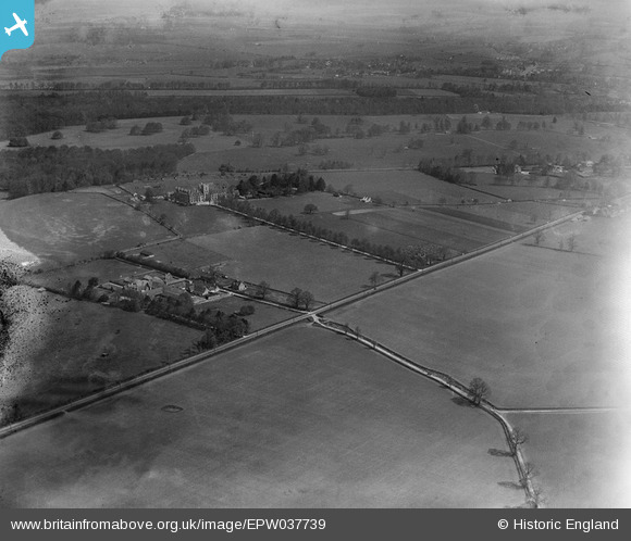
EPW037739 ENGLAND (1932). The Royal Agricultural College, College Farm and surrounding countryside, Cirencester, 1932
© Copyright OpenStreetMap contributors and licensed by the OpenStreetMap Foundation. 2025. Cartography is licensed as CC BY-SA.
Nearby Images (2)
EPW037739

EPW037742

Details
| Title | [EPW037739] The Royal Agricultural College, College Farm and surrounding countryside, Cirencester, 1932 |
| Reference | EPW037739 |
| Date | May-1932 |
| Link | |
| Place name | CIRENCESTER |
| Parish | CIRENCESTER |
| District | |
| Country | ENGLAND |
| Easting / Northing | 400555, 200831 |
| Longitude / Latitude | -1.9919673590316, 51.705758046866 |
| National Grid Reference | SP006008 |
Pins
 Class31 |
Thursday 24th of January 2013 08:59:17 PM |