
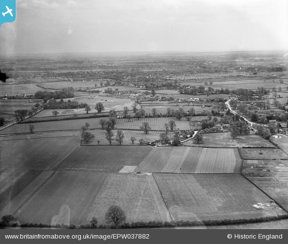
EPW037882 ENGLAND (1932). The village and surrounding countryside, Biddenham, from the west, 1932
© Copyright OpenStreetMap contributors and licensed by the OpenStreetMap Foundation. 2025. Cartography is licensed as CC BY-SA.
Nearby Images (3)
EPW037882

EPW037880

EPW037881

Details
| Title | [EPW037882] The village and surrounding countryside, Biddenham, from the west, 1932 |
| Reference | EPW037882 |
| Date | May-1932 |
| Link | |
| Place name | BIDDENHAM |
| Parish | BIDDENHAM |
| District | |
| Country | ENGLAND |
| Easting / Northing | 501652, 250220 |
| Longitude / Latitude | -0.51444498737234, 52.140500856998 |
| National Grid Reference | TL017502 |
Pins
 melgibbs |
Thursday 5th of December 2013 07:13:37 PM | |
melgibbs |
Thursday 5th of December 2013 07:12:59 PM | |
melgibbs |
Thursday 5th of December 2013 07:12:27 PM | |
melgibbs |
Thursday 5th of December 2013 07:11:59 PM | |
melgibbs |
Thursday 5th of December 2013 07:11:42 PM |