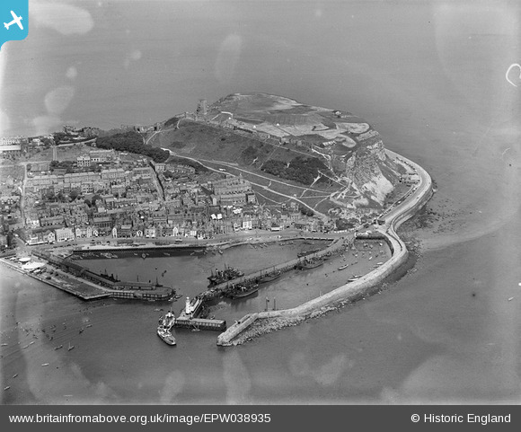
EPW038935 ENGLAND (1932). Scarborough Castle and Harbour, Scarborough, 1932
© Copyright OpenStreetMap contributors and licensed by the OpenStreetMap Foundation. 2025. Cartography is licensed as CC BY-SA.
Nearby Images (8)
EPW038935

EPW018341

EAW005716

EAW016698

EPW029093

EAW016697

EAW005718

EPW029089

Details
| Title | [EPW038935] Scarborough Castle and Harbour, Scarborough, 1932 |
| Reference | EPW038935 |
| Date | July-1932 |
| Link | |
| Place name | SCARBOROUGH |
| Parish | |
| District | |
| Country | ENGLAND |
| Easting / Northing | 505012, 488887 |
| Longitude / Latitude | -0.38672696854683, 54.284654973783 |
| National Grid Reference | TA050889 |
Pins
 Chris101 |
Friday 2nd of September 2022 10:28:17 PM | |
mannidaze |
Sunday 24th of October 2021 02:43:29 PM | |
mannidaze |
Sunday 24th of October 2021 02:41:50 PM | |
 Captain ants |
Sunday 24th of May 2020 10:35:00 AM | |
John Wass |
Saturday 1st of November 2014 07:51:19 PM | |
 Alan McFaden |
Sunday 14th of July 2013 05:14:56 PM | |
Alan McFaden |
Sunday 14th of July 2013 05:07:37 PM | |
Alan McFaden |
Sunday 14th of July 2013 05:06:41 PM | |
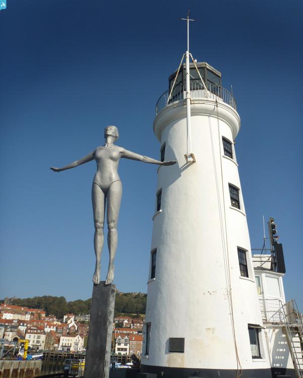
The original lighthouse was seriously damaged by shells from German battlecruisers, SMS Derfflinger and SMS Von der Tann, when the town was bombarded on the morning of 16th December 1914. It was rebuilt in 1931. |
Lynda Tubbs |
Tuesday 18th of March 2014 12:21:59 PM |