
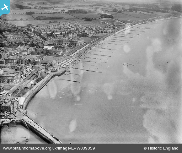
EPW039059 ENGLAND (1932). North Sands, Bridlington, 1932
© Copyright OpenStreetMap contributors and licensed by the OpenStreetMap Foundation. 2025. Cartography is licensed as CC BY-SA.
Nearby Images (7)
EPW039059

EPW039060

EPW023142

EPW023155

EPW012906

EAW013983

EPW023154

Details
| Title | [EPW039059] North Sands, Bridlington, 1932 |
| Reference | EPW039059 |
| Date | July-1932 |
| Link | |
| Place name | BRIDLINGTON |
| Parish | BRIDLINGTON |
| District | |
| Country | ENGLAND |
| Easting / Northing | 518847, 466838 |
| Longitude / Latitude | -0.18300394107638, 54.08353960238 |
| National Grid Reference | TA188668 |
Pins
Be the first to add a comment to this image!