
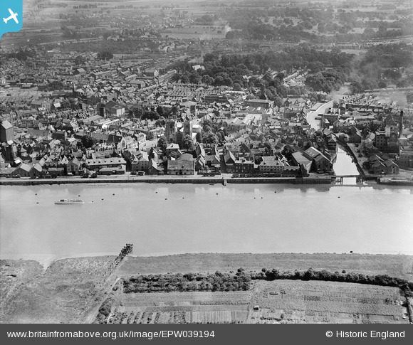
EPW039194 ENGLAND (1932). Mill Fleet and the town, King's Lynn, 1932
© Copyright OpenStreetMap contributors and licensed by the OpenStreetMap Foundation. 2025. Cartography is licensed as CC BY-SA.
Nearby Images (5)
EPW039194

EPW021480

EPW021479

EPW021475

EAW031882

Details
| Title | [EPW039194] Mill Fleet and the town, King's Lynn, 1932 |
| Reference | EPW039194 |
| Date | July-1932 |
| Link | |
| Place name | KING'S LYNN |
| Parish | |
| District | |
| Country | ENGLAND |
| Easting / Northing | 561661, 319746 |
| Longitude / Latitude | 0.39553027463874, 52.750775596999 |
| National Grid Reference | TF617197 |
Pins
 incony |
Thursday 20th of March 2025 11:38:56 AM | |
John W |
Sunday 26th of March 2017 10:15:22 PM | |
Peter |
Saturday 15th of August 2015 09:55:25 PM | |
 Class31 |
Tuesday 24th of June 2014 08:48:18 AM | |
Class31 |
Tuesday 24th of June 2014 08:45:15 AM | |
Class31 |
Tuesday 24th of June 2014 08:43:52 AM | |
Class31 |
Tuesday 24th of June 2014 08:42:48 AM | |
Class31 |
Tuesday 24th of June 2014 08:39:56 AM | |
Class31 |
Tuesday 24th of June 2014 08:37:20 AM | |
 |
Class31 |
Tuesday 24th of June 2014 08:36:00 AM |
Class31 |
Tuesday 24th of June 2014 08:30:47 AM | |
Class31 |
Tuesday 24th of June 2014 08:29:02 AM | |
Class31 |
Tuesday 24th of June 2014 08:27:43 AM | |
Class31 |
Tuesday 24th of June 2014 08:26:39 AM | |
 |
Class31 |
Tuesday 24th of June 2014 08:25:36 AM |
Class31 |
Tuesday 24th of June 2014 08:24:26 AM | |
Class31 |
Tuesday 24th of June 2014 08:22:35 AM | |
Class31 |
Tuesday 24th of June 2014 08:21:40 AM | |
Class31 |
Tuesday 24th of June 2014 08:19:38 AM | |
Class31 |
Tuesday 24th of June 2014 08:16:58 AM |


User Comment Contributions
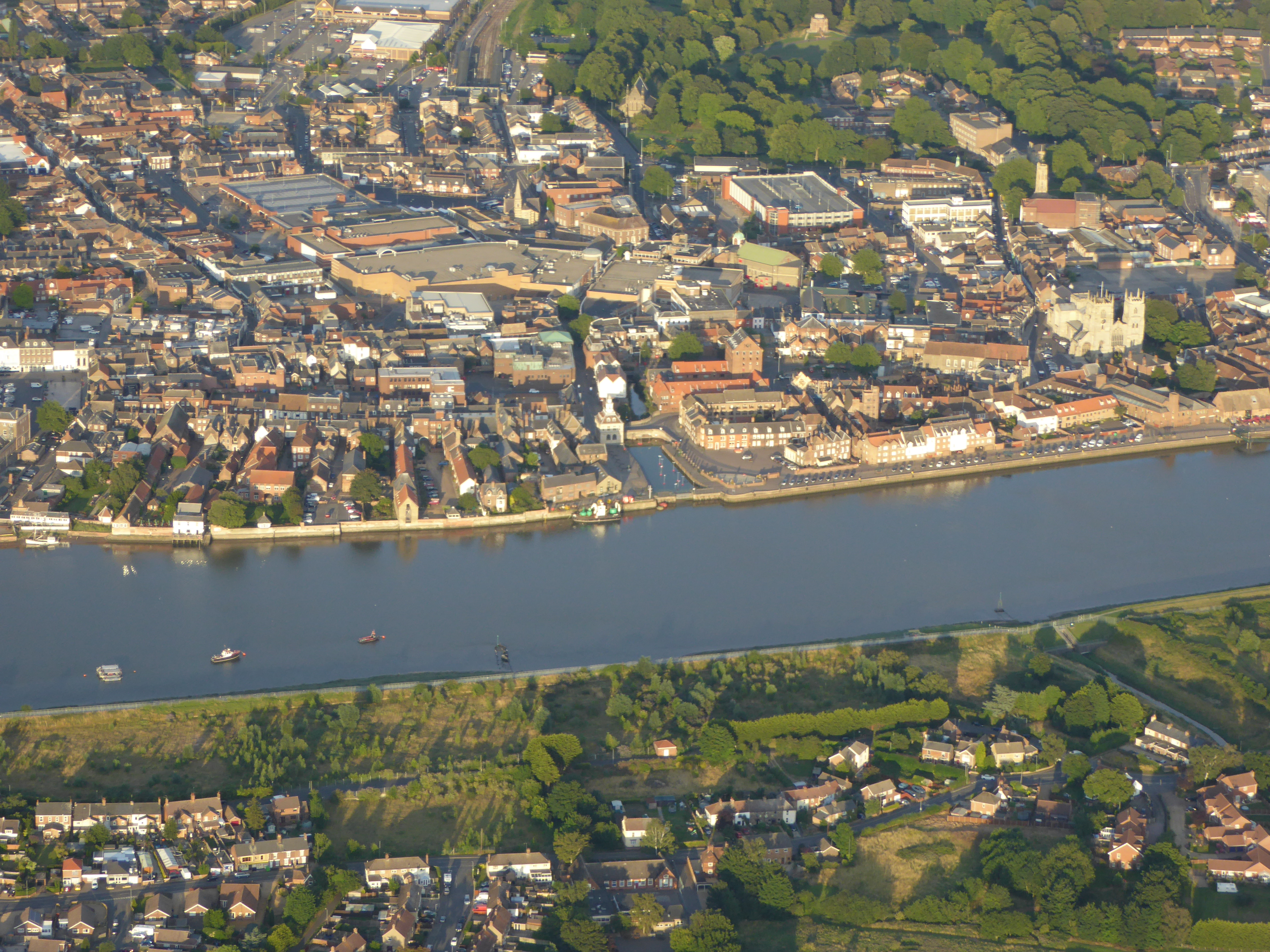 This contemporary point and click view of Kings Lynn from above was taken at 18:32:05(UTC) on the 12 August 2015 from an open cockpit flexwing microlight aircraft at approximately 2000ft. The camera was a Lumix TZ60. The cameras internal GPS gives its Lat/Long position as 52° 46' 17"N 0° 22' 34.7"E when the photograph was taken. |
SMFurner |
Friday 14th of August 2015 03:31:42 AM |
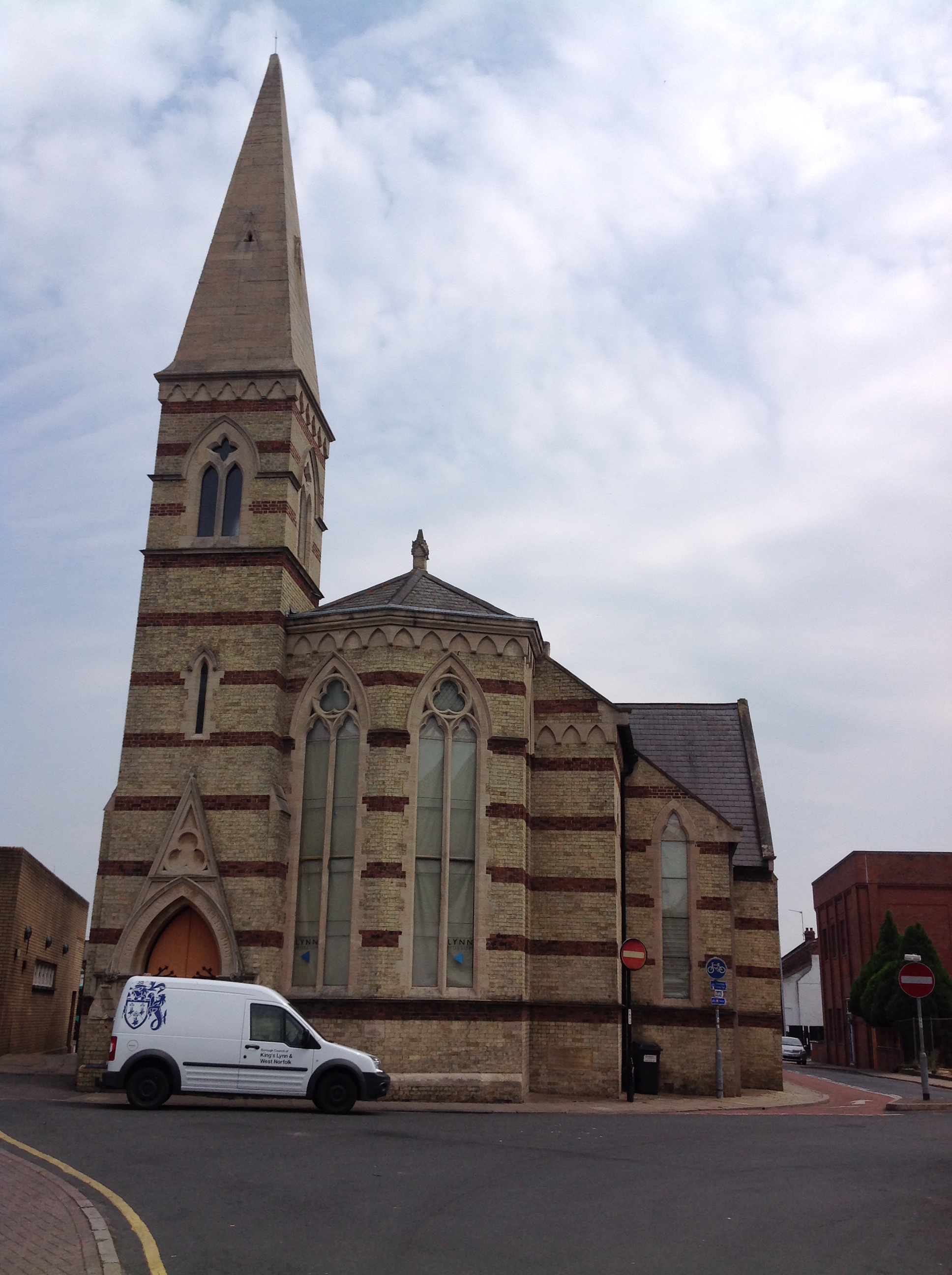 Lynn Museum in the building of the Union Baptist Chapel, 23/06/2014 |
Class31 |
Tuesday 24th of June 2014 08:23:03 AM |
 St. John the Evangelist Church, 23/06/2014 |
Class31 |
Tuesday 24th of June 2014 08:20:23 AM |
 Kings Lynn Station, 23/06/2014 |
Class31 |
Tuesday 24th of June 2014 08:18:52 AM |
 Kings Lynn Station, 23/06/2014 |
Class31 |
Tuesday 24th of June 2014 08:18:29 AM |
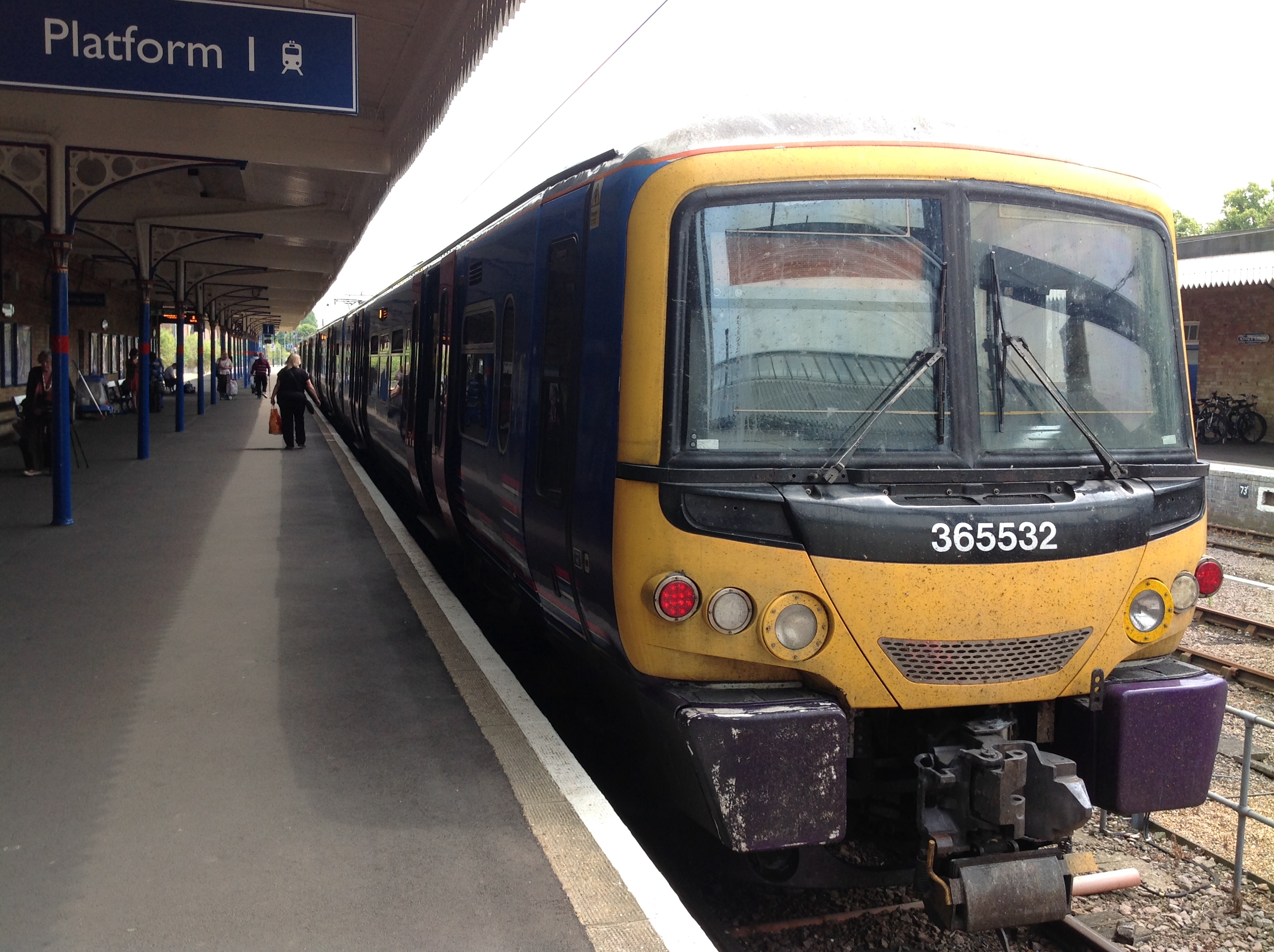 Kings Lynn Station, 23/06/2014 |
Class31 |
Tuesday 24th of June 2014 08:18:08 AM |
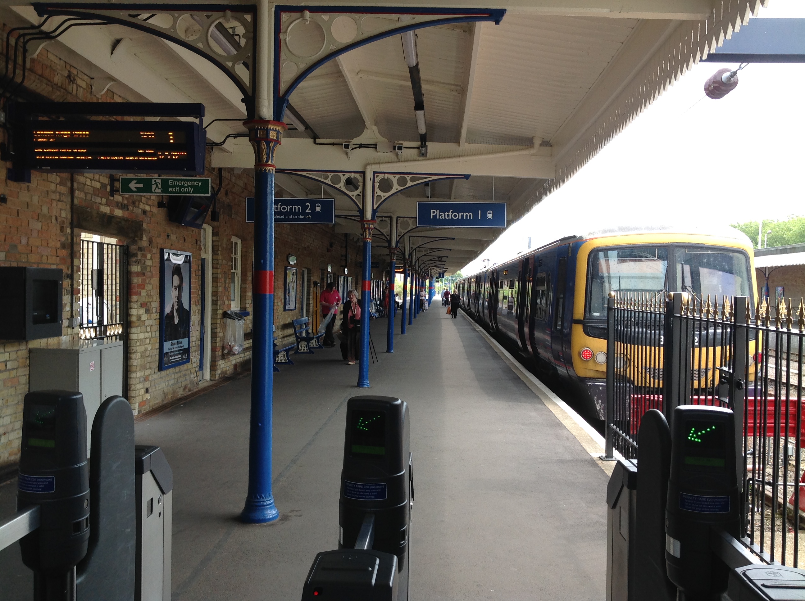 Kings Lynn Station, 23/06/2014 |
Class31 |
Tuesday 24th of June 2014 08:17:46 AM |