
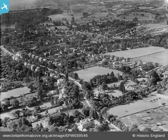
EPW039546 ENGLAND (1932). Housing surrounding Reigatehill Road and St Albans Road, Reigate, 1932
© Copyright OpenStreetMap contributors and licensed by the OpenStreetMap Foundation. 2025. Cartography is licensed as CC BY-SA.
Nearby Images (3)
EPW039546

EPW025256

EPW039543

Details
| Title | [EPW039546] Housing surrounding Reigatehill Road and St Albans Road, Reigate, 1932 |
| Reference | EPW039546 |
| Date | August-1932 |
| Link | |
| Place name | REIGATE |
| Parish | |
| District | |
| Country | ENGLAND |
| Easting / Northing | 525317, 151047 |
| Longitude / Latitude | -0.20440394335349, 51.244301088489 |
| National Grid Reference | TQ253510 |
Pins
 john bagley |
Monday 30th of November 2020 01:26:28 PM | |
john bagley |
Monday 30th of November 2020 01:24:45 PM | |
BruceR |
Tuesday 12th of March 2013 10:29:32 PM | |
BruceR |
Wednesday 12th of December 2012 09:48:20 PM |