
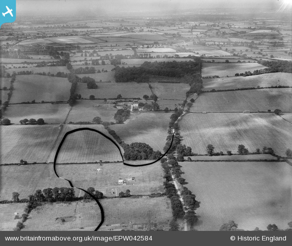
EPW042584 ENGLAND (1933). Runwell Hall Farm, Runwell, from the south, 1933. This image has been produced from a damaged negative.
© Copyright OpenStreetMap contributors and licensed by the OpenStreetMap Foundation. 2025. Cartography is licensed as CC BY-SA.
Nearby Images (7)
EPW042584

EPW042581

EPW042579

EPW042583

EPW042580

EPW042585

EPW042582

Details
| Title | [EPW042584] Runwell Hall Farm, Runwell, from the south, 1933. This image has been produced from a damaged negative. |
| Reference | EPW042584 |
| Date | August-1933 |
| Link | |
| Place name | RUNWELL |
| Parish | RUNWELL |
| District | |
| Country | ENGLAND |
| Easting / Northing | 576042, 195442 |
| Longitude / Latitude | 0.54382603699965, 51.629739607 |
| National Grid Reference | TQ760954 |
Pins
Be the first to add a comment to this image!