
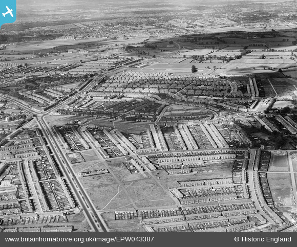
EPW043387 ENGLAND (1933). Housing estates at Gants Hill, Ilford, 1933
© Copyright OpenStreetMap contributors and licensed by the OpenStreetMap Foundation. 2025. Cartography is licensed as CC BY-SA.
Nearby Images (6)
EPW043387

EPW043390

EPW043392

EPW043391

EPW043389

EPW043386

Details
| Title | [EPW043387] Housing estates at Gants Hill, Ilford, 1933 |
| Reference | EPW043387 |
| Date | October-1933 |
| Link | |
| Place name | ILFORD |
| Parish | |
| District | |
| Country | ENGLAND |
| Easting / Northing | 543583, 188698 |
| Longitude / Latitude | 0.072396243469467, 51.578357291529 |
| National Grid Reference | TQ436887 |
Pins
 Hermann the German |
Monday 21st of October 2013 06:10:52 PM | |
Hermann the German |
Monday 21st of October 2013 06:06:30 PM | |
Hermann the German |
Monday 21st of October 2013 05:57:55 PM | |
Hermann the German |
Monday 21st of October 2013 05:54:18 PM | |
Hermann the German |
Monday 21st of October 2013 05:53:17 PM | |
Hermann the German |
Monday 21st of October 2013 05:53:16 PM | |
Hermann the German |
Monday 21st of October 2013 05:53:12 PM |