
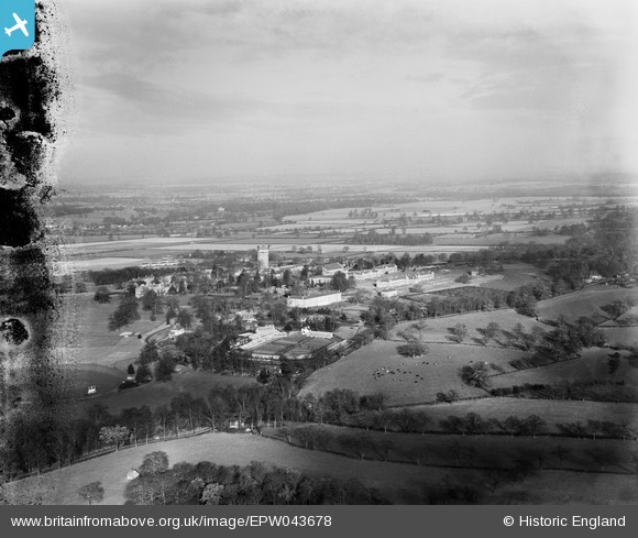
EPW043678 ENGLAND (1933). Shenley Mental Hospital and environs, Shenley, from the south, 1933. This image has been produced from a damaged negative.
© Copyright OpenStreetMap contributors and licensed by the OpenStreetMap Foundation. 2025. Cartography is licensed as CC BY-SA.
Nearby Images (6)
EPW043678

EPW043677

EPW043680

EPW043673

EPW044102

EPW043668

Details
| Title | [EPW043678] Shenley Mental Hospital and environs, Shenley, from the south, 1933. This image has been produced from a damaged negative. |
| Reference | EPW043678 |
| Date | December-1933 |
| Link | |
| Place name | SHENLEY |
| Parish | SHENLEY |
| District | |
| Country | ENGLAND |
| Easting / Northing | 518074, 200358 |
| Longitude / Latitude | -0.29165779984636, 51.689083328467 |
| National Grid Reference | TL181004 |
Pins
Be the first to add a comment to this image!