
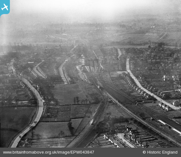
EPW043847 ENGLAND (1934). Upminster Railway Station and environs, Upminster, 1934
© Copyright OpenStreetMap contributors and licensed by the OpenStreetMap Foundation. 2025. Cartography is licensed as CC BY-SA.
Nearby Images (8)
EPW043847

EPW043850

EPW043919

EPW043925

EPW043923

EPW043846

EPW043852

EPW043848

Details
| Title | [EPW043847] Upminster Railway Station and environs, Upminster, 1934 |
| Reference | EPW043847 |
| Date | March-1934 |
| Link | |
| Place name | UPMINSTER |
| Parish | |
| District | |
| Country | ENGLAND |
| Easting / Northing | 556361, 186850 |
| Longitude / Latitude | 0.25585668869762, 51.558352185373 |
| National Grid Reference | TQ564869 |
Pins
 GeoffR |
Thursday 15th of January 2015 05:33:07 PM | |
GeoffR |
Thursday 15th of January 2015 05:32:23 PM | |
GeoffR |
Thursday 15th of January 2015 05:31:22 PM | |
GeoffR |
Thursday 15th of January 2015 05:30:46 PM | |
Batesie |
Sunday 26th of January 2014 05:56:04 PM |