
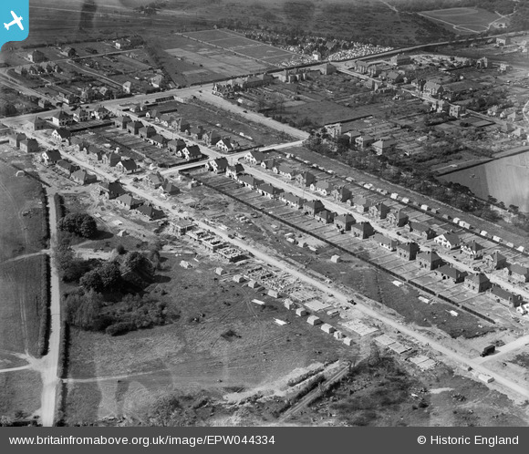
EPW044334 ENGLAND (1934). Waverley Avenue, Lyndhurst Avenue and environs, Twickenham, 1934
© Copyright OpenStreetMap contributors and licensed by the OpenStreetMap Foundation. 2025. Cartography is licensed as CC BY-SA.
Nearby Images (7)
EPW044334

EPW044746

EPW044337

EPW044332

EPW044335

EPW044744

EPW044336

Details
| Title | [EPW044334] Waverley Avenue, Lyndhurst Avenue and environs, Twickenham, 1934 |
| Reference | EPW044334 |
| Date | May-1934 |
| Link | |
| Place name | TWICKENHAM |
| Parish | |
| District | |
| Country | ENGLAND |
| Easting / Northing | 512828, 173330 |
| Longitude / Latitude | -0.37620543528438, 51.447213908007 |
| National Grid Reference | TQ128733 |
Pins
 Class31 |
Sunday 15th of December 2013 05:41:15 PM |