
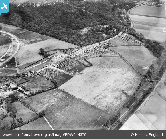
EPW044379 ENGLAND (1934). Hurst Road and environs, Bexley Woods, 1934
© Copyright OpenStreetMap contributors and licensed by the OpenStreetMap Foundation. 2025. Cartography is licensed as CC BY-SA.
Nearby Images (10)
EPW044379

EPW044378

EPW044377

EPW044736

EPW044734

EPW044735

EPW044376

EPW044732

EPW044733

EPW044718

Details
| Title | [EPW044379] Hurst Road and environs, Bexley Woods, 1934 |
| Reference | EPW044379 |
| Date | May-1934 |
| Link | |
| Place name | BEXLEY WOODS |
| Parish | |
| District | |
| Country | ENGLAND |
| Easting / Northing | 548050, 173120 |
| Longitude / Latitude | 0.13028176191216, 51.437213671474 |
| National Grid Reference | TQ481731 |
Pins
Be the first to add a comment to this image!