
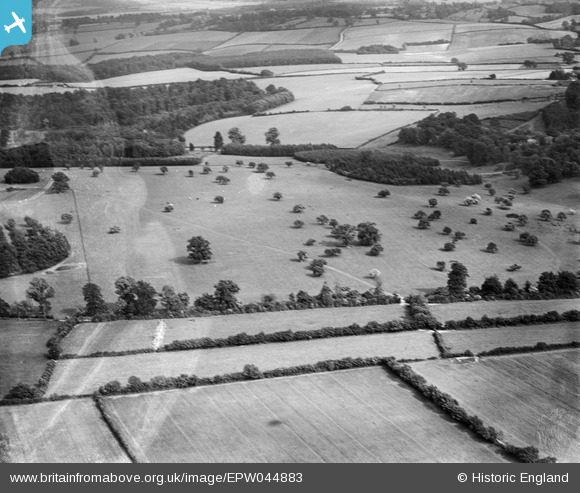
EPW044883 ENGLAND (1934). Upper Park, Amersham, 1934
© Copyright OpenStreetMap contributors and licensed by the OpenStreetMap Foundation. 2025. Cartography is licensed as CC BY-SA.
Nearby Images (4)
EPW044883

EPW044888

EPW044884

EPW044890

Details
| Title | [EPW044883] Upper Park, Amersham, 1934 |
| Reference | EPW044883 |
| Date | June-1934 |
| Link | |
| Place name | AMERSHAM |
| Parish | AMERSHAM |
| District | |
| Country | ENGLAND |
| Easting / Northing | 492953, 197518 |
| Longitude / Latitude | -0.65575237914592, 51.668274937543 |
| National Grid Reference | SU930975 |
Pins
Be the first to add a comment to this image!