
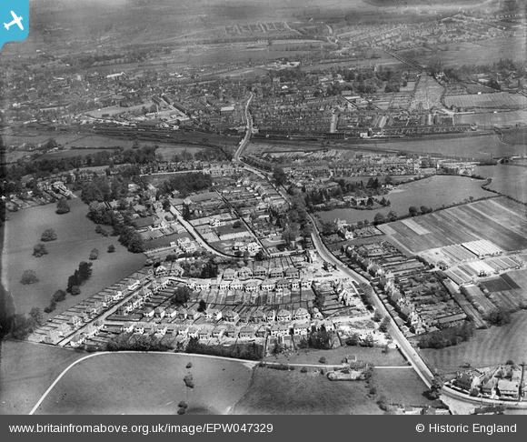
EPW047329 ENGLAND (1935). Rowley Bank and environs, Stafford, 1935
© Copyright OpenStreetMap contributors and licensed by the OpenStreetMap Foundation. 2025. Cartography is licensed as CC BY-SA.
Nearby Images (3)
EPW047329

EPW047330

EPW047331

Details
| Title | [EPW047329] Rowley Bank and environs, Stafford, 1935 |
| Reference | EPW047329 |
| Date | May-1935 |
| Link | |
| Place name | STAFFORD |
| Parish | |
| District | |
| Country | ENGLAND |
| Easting / Northing | 392063, 321852 |
| Longitude / Latitude | -2.1177193132203, 52.793843229793 |
| National Grid Reference | SJ921219 |
