
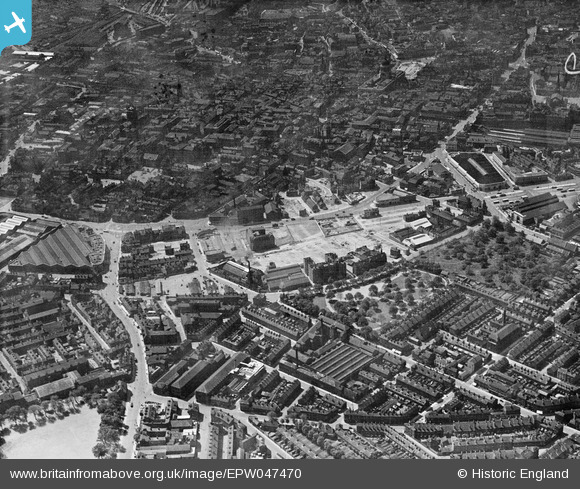
EPW047470 ENGLAND (1935). Victoria Park, Bath Street, Brook Street and the city, Nottingham, from the north-east, 1935
© Copyright OpenStreetMap contributors and licensed by the OpenStreetMap Foundation. 2025. Cartography is licensed as CC BY-SA.
Nearby Images (7)
EPW047470

EPW008481

EPW008485

EPW008585

EPW050653

EPW055000

EPW055023

Details
| Title | [EPW047470] Victoria Park, Bath Street, Brook Street and the city, Nottingham, from the north-east, 1935 |
| Reference | EPW047470 |
| Date | May-1935 |
| Link | |
| Place name | NOTTINGHAM |
| Parish | |
| District | |
| Country | ENGLAND |
| Easting / Northing | 458022, 340145 |
| Longitude / Latitude | -1.136225377837, 52.955224610323 |
| National Grid Reference | SK580401 |
