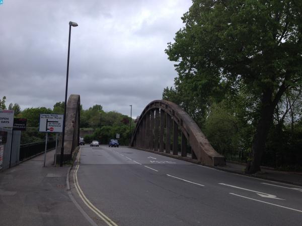
EPW048310 ENGLAND (1935). The residential area at St Anne's Park, Bristol, 1935

© Copyright OpenStreetMap contributors and licensed by the OpenStreetMap Foundation. 2025. Cartography is licensed as CC BY-SA.
Nearby Images (2)
EPW048310

EPW048311

Details
| Title | [EPW048310] The residential area at St Anne's Park, Bristol, 1935 |
| Reference | EPW048310 |
| Date | July-1935 |
| Link | |
| Place name | BRISTOL |
| Parish | |
| District | |
| Country | ENGLAND |
| Easting / Northing | 362451, 172295 |
| Longitude / Latitude | -2.5403904247616, 51.447906234478 |
| National Grid Reference | ST625723 |
Pins
 kellysheppard510@ymail.com |
Tuesday 13th of December 2016 12:17:18 PM | |
kellysheppard510@ymail.com |
Tuesday 13th of December 2016 12:15:29 PM | |
 Class31 |
Monday 11th of May 2015 08:00:43 AM |