
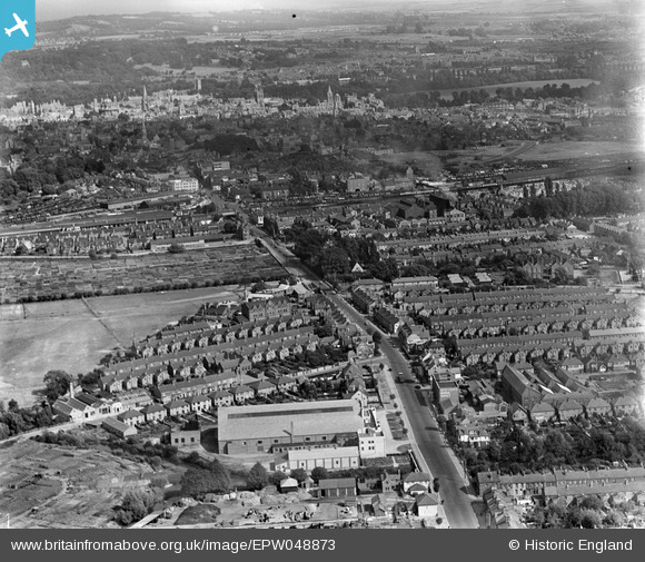
EPW048873 ENGLAND (1935). Botley Road and the city, Oxford, from the west, 1935
© Copyright OpenStreetMap contributors and licensed by the OpenStreetMap Foundation. 2025. Cartography is licensed as CC BY-SA.
Nearby Images (5)
EPW048873

EPW048871

EPW048869

EPW048872

EPW048870

Details
| Title | [EPW048873] Botley Road and the city, Oxford, from the west, 1935 |
| Reference | EPW048873 |
| Date | August-1935 |
| Link | |
| Place name | OXFORD |
| Parish | |
| District | |
| Country | ENGLAND |
| Easting / Northing | 449870, 206279 |
| Longitude / Latitude | -1.2774704551801, 51.752526952596 |
| National Grid Reference | SP499063 |
Pins
 NickPStanton |
Thursday 22nd of October 2020 09:11:51 PM |