
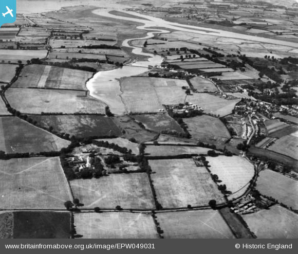
EPW049031 ENGLAND (1935). The Mill Dam, Warren Farm and environs, St Osyth, 1935. This image has been produced from a print.
© Copyright OpenStreetMap contributors and licensed by the OpenStreetMap Foundation. 2025. Cartography is licensed as CC BY-SA.
Nearby Images (2)
EPW049031

EPW011632

Details
| Title | [EPW049031] The Mill Dam, Warren Farm and environs, St Osyth, 1935. This image has been produced from a print. |
| Reference | EPW049031 |
| Date | August-1935 |
| Link | |
| Place name | ST OSYTH |
| Parish | ST. OSYTH |
| District | |
| Country | ENGLAND |
| Easting / Northing | 612326, 215129 |
| Longitude / Latitude | 1.0793834569, 51.793993870454 |
| National Grid Reference | TM123151 |
Pins
Be the first to add a comment to this image!