
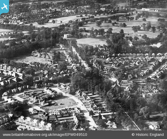
EPW049510 ENGLAND (1935). Canons Park and the surrounding residential area, Stanmore, 1935. This image has been produced from a damaged copy-negative.
© Copyright OpenStreetMap contributors and licensed by the OpenStreetMap Foundation. 2025. Cartography is licensed as CC BY-SA.
Nearby Images (4)
EPW049510

EPW053047

EPW029990

EPW049508

Details
| Title | [EPW049510] Canons Park and the surrounding residential area, Stanmore, 1935. This image has been produced from a damaged copy-negative. |
| Reference | EPW049510 |
| Date | October-1935 |
| Link | |
| Place name | STANMORE |
| Parish | |
| District | |
| Country | ENGLAND |
| Easting / Northing | 518600, 191874 |
| Longitude / Latitude | -0.2869287866657, 51.612716163138 |
| National Grid Reference | TQ186919 |
Pins
 Mark Amies |
Monday 11th of June 2018 09:32:33 AM | |
Mark Amies |
Sunday 14th of December 2014 06:50:14 PM | |
Mark Amies |
Sunday 14th of December 2014 06:49:47 PM | |
Mark Amies |
Sunday 14th of December 2014 06:47:13 PM | |
Lee P |
Wednesday 29th of October 2014 08:51:50 PM | |
Lee P |
Wednesday 29th of October 2014 08:48:39 PM | |
Lee P |
Wednesday 29th of October 2014 08:47:48 PM | |
Lee P |
Wednesday 29th of October 2014 08:46:31 PM |