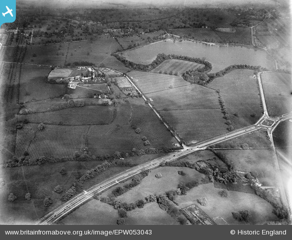
EPW053043 ENGLAND (1937). Dagger Lane and the Watford Bypass, Bushey Heath, 1937
© Copyright OpenStreetMap contributors and licensed by the OpenStreetMap Foundation. 2024. Cartography is licensed as CC BY-SA.
Details
| Title | [EPW053043] Dagger Lane and the Watford Bypass, Bushey Heath, 1937 |
| Reference | EPW053043 |
| Date | 17-May-1937 |
| Link | |
| Place name | BUSHEY HEATH |
| Parish | |
| District | |
| Country | ENGLAND |
| Easting / Northing | 516179, 195462 |
| Longitude / Latitude | -0.32069095420575, 51.64547163034 |
| National Grid Reference | TQ162955 |


![[EPW053043] Dagger Lane and the Watford Bypass, Bushey Heath, 1937](http://britainfromabove.org.uk/sites/all/libraries/aerofilms-images/public/100x100/EPW/053/EPW053043.jpg)
![[EPW053040] Dagger Lane and the Watford Bypass, Bushey Heath, 1937](http://britainfromabove.org.uk/sites/all/libraries/aerofilms-images/public/100x100/EPW/053/EPW053040.jpg)
![[EPW053051] The Watford Bypass at Aldenham Reservoir, Bushey Heath, 1937](http://britainfromabove.org.uk/sites/all/libraries/aerofilms-images/public/100x100/EPW/053/EPW053051.jpg)
![[EAW027661] A Hunting Aerosurveys DH.89A Rapide (G-AEAL) in flight over the Elstree Road and North Western Avenue junction, Bushey Heath, 1949](http://britainfromabove.org.uk/sites/all/libraries/aerofilms-images/public/100x100/EAW/027/EAW027661.jpg)
