
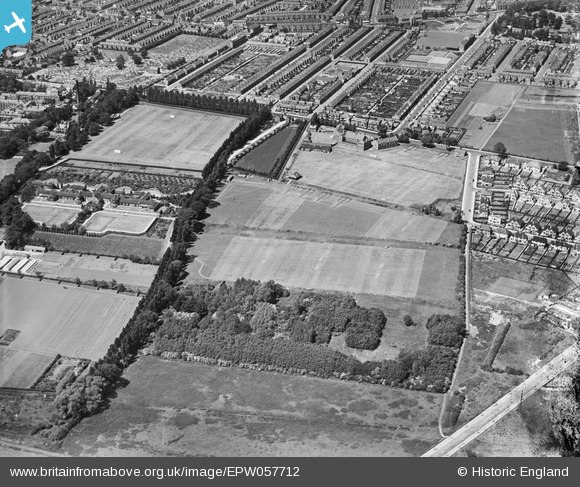
EPW057712 ENGLAND (1938). The Northampton Town and County School (Northampton School for Boys) and playing fields, Northampton, 1938
© Copyright OpenStreetMap contributors and licensed by the OpenStreetMap Foundation. 2025. Cartography is licensed as CC BY-SA.
Nearby Images (6)
EPW057712
 and playing fields, Northampton, 1938")
EPW057710
 and playing fields, Northampton, 1938. This image has been produced from a damaged negative.")
EPW057714
 and playing fields, Northampton, 1938. This image has been produced from a damaged negative.")
EPW057711
 and playing fields, Northampton, 1938")
EPW057709
 and playing fields and the surrounding residential area, Northampton, 1938")
EPW057713
, Northampton, 1938. This image has been produced from a damaged negative.")
Details
| Title | [EPW057712] The Northampton Town and County School (Northampton School for Boys) and playing fields, Northampton, 1938 |
| Reference | EPW057712 |
| Date | 21-June-1938 |
| Link | |
| Place name | NORTHAMPTON |
| Parish | |
| District | |
| Country | ENGLAND |
| Easting / Northing | 477538, 260470 |
| Longitude / Latitude | -0.86441818909466, 52.236557035545 |
| National Grid Reference | SP775605 |
Pins
Be the first to add a comment to this image!