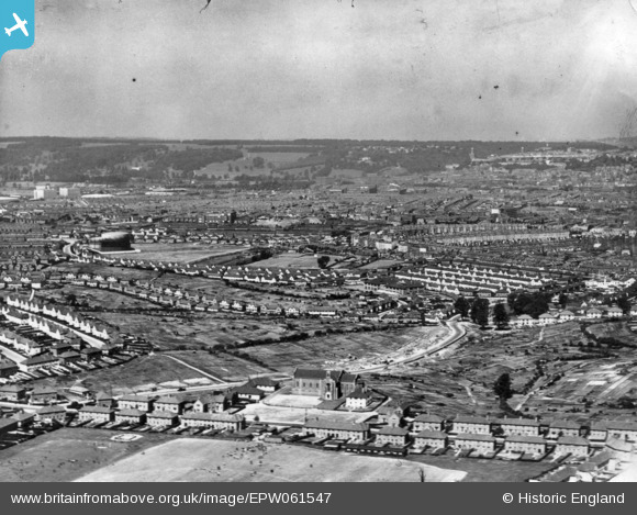
EPW061547 ENGLAND (1939). A cityscape from Lower Knowle towards Clifton, Bristol, from the south-east, 1939. This image has been produced from a print.
© Copyright OpenStreetMap contributors and licensed by the OpenStreetMap Foundation. 2025. Cartography is licensed as CC BY-SA.
Details
| Title | [EPW061547] A cityscape from Lower Knowle towards Clifton, Bristol, from the south-east, 1939. This image has been produced from a print. |
| Reference | EPW061547 |
| Date | 5-June-1939 |
| Link | |
| Place name | BRISTOL |
| Parish | |
| District | |
| Country | ENGLAND |
| Easting / Northing | 359542, 170368 |
| Longitude / Latitude | -2.5820330836733, 51.430377968573 |
| National Grid Reference | ST595704 |
Pins
 raerae |
Tuesday 5th of July 2016 10:02:19 PM |


![[EPW061547] A cityscape from Lower Knowle towards Clifton, Bristol, from the south-east, 1939. This image has been produced from a print.](http://britainfromabove.org.uk/sites/all/libraries/aerofilms-images/public/100x100/EPW/061/EPW061547.jpg)
![[EPW041483] Filwood Park, Bristol, from the north-east, 1933](http://britainfromabove.org.uk/sites/all/libraries/aerofilms-images/public/100x100/EPW/041/EPW041483.jpg)