
EPW061942 ENGLAND (1939) [Unlocated]. UNLOCATED
© Copyright OpenStreetMap contributors and licensed by the OpenStreetMap Foundation. 2025. Cartography is licensed as CC BY-SA.
Nearby Images (48)
EPW000143

EPW000667

EPW005260

EPW006389
, 1921")
EPW007181

EPW015853

EPW015854

EPW015855

EPW016012

EPW016510

EPW016641

EPW017028

EPW017029

EPW017136

SAW003585

SAW003586

SAW009337

SAW009800

SAW009801

SAW009802

SAW010734

SAW014737

SAW017926

SAW017927

SAW032504

SPW020275

SPW020280

SPW020281

SPW020284

SPW020632

SPW020633

SPW027083

SPW049776

SPW049777

SPW049779

SPW049783

SPW049791

SPW049798

SPW049801

SPW049827

SPW049828

SPW049831

SPW049832

SPW049834

SPW049948

SPW049949

SPW051009

SPW062638

Details
| Title | [EPW061942] UNLOCATED |
| Reference | EPW061942 |
| Date | 8-June-1939 |
| Link | |
| Place name | |
| Parish | |
| District | |
| Country | ENGLAND |
| Easting / Northing | 0, 0 |
| Longitude / Latitude | -7.556448482059, 49.766185796754 |
| National Grid Reference | SV000000 |
Pins
 TomRobin |
Saturday 21st of December 2013 10:27:22 PM | |
 Class31 |
Monday 18th of November 2013 10:19:46 AM | |
nkingdon |
Wednesday 13th of November 2013 11:53:05 PM | |
nkingdon |
Wednesday 13th of November 2013 11:52:28 PM | |
nkingdon |
Wednesday 13th of November 2013 11:52:00 PM | |
nkingdon |
Wednesday 13th of November 2013 11:51:21 PM |
User Comment Contributions
EPW061944 is of End Hill, Great Malvern, |
Class31 |
Friday 22nd of November 2013 01:57:25 PM |
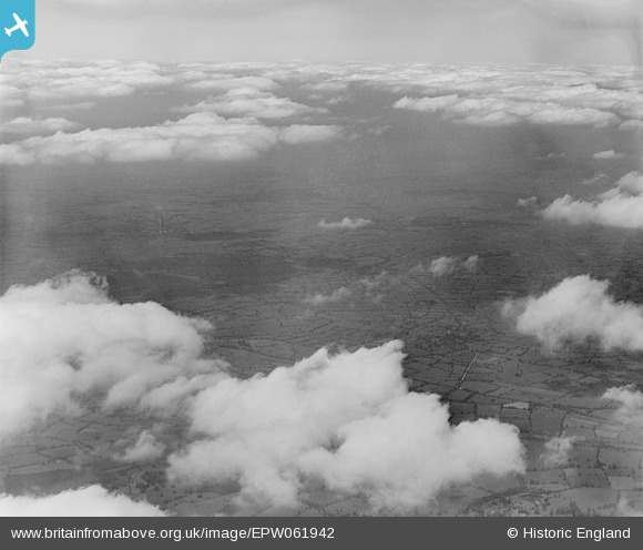
I think the set EPW061940, (EPW061941?), EPW061942, EPW061943. I had thought that they might have been somewhere on the Somerset levels, with small semi-regular shaped fields surrounded by pollarded willows, but could pin them to anywhere. |
nkingdon |
Thursday 14th of November 2013 12:06:35 AM |
...then again i'm probably in the wrong place entirely |
nkingdon |
Thursday 14th of November 2013 12:06:35 AM |