
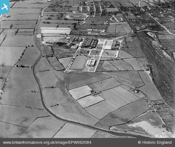
EPW062084 ENGLAND (1939). The Boots Pure Drug Co Works and the Beeston Canal, Nottingham, 1939
© Copyright OpenStreetMap contributors and licensed by the OpenStreetMap Foundation. 2025. Cartography is licensed as CC BY-SA.
Nearby Images (7)
EPW062084

EPW062085

EPW062096

EPW062095

EPW062092

EPW062087

EPW062086

Details
| Title | [EPW062084] The Boots Pure Drug Co Works and the Beeston Canal, Nottingham, 1939 |
| Reference | EPW062084 |
| Date | 29-June-1939 |
| Link | |
| Place name | NOTTINGHAM |
| Parish | |
| District | |
| Country | ENGLAND |
| Easting / Northing | 454765, 336906 |
| Longitude / Latitude | -1.1852540389242, 52.926450395206 |
| National Grid Reference | SK548369 |
Pins
 martynrb |
Sunday 25th of June 2017 08:20:34 AM | |
martynrb |
Sunday 23rd of October 2016 04:02:25 PM | |
gBr |
Friday 9th of October 2015 08:24:06 PM | |
gBr |
Friday 9th of October 2015 08:20:29 PM | |
Graham |
Sunday 1st of September 2013 12:05:15 PM | |
Graham |
Sunday 1st of September 2013 12:04:59 PM | |
Graham |
Sunday 1st of September 2013 12:04:40 PM |