
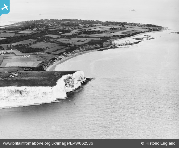
EPW062536 ENGLAND (1939). Culver Cliff and Whitecliff Bay, Bembridge, from the south-west, 1939
© Copyright OpenStreetMap contributors and licensed by the OpenStreetMap Foundation. 2025. Cartography is licensed as CC BY-SA.
Nearby Images (2)
EPW062536

EPW039639

Details
| Title | [EPW062536] Culver Cliff and Whitecliff Bay, Bembridge, from the south-west, 1939 |
| Reference | EPW062536 |
| Date | 11-August-1939 |
| Link | |
| Place name | BEMBRIDGE |
| Parish | BEMBRIDGE |
| District | |
| Country | ENGLAND |
| Easting / Northing | 463996, 85289 |
| Longitude / Latitude | -1.0944271006903, 50.663172160242 |
| National Grid Reference | SZ640853 |
Pins
 Matt Aldred edob.mattaldred.com |
Thursday 27th of January 2022 04:06:00 PM | |
Matt Aldred edob.mattaldred.com |
Thursday 27th of January 2022 04:05:30 PM | |
 Guy |
Tuesday 1st of June 2021 10:24:44 AM | |
Biggles1951 |
Thursday 12th of December 2013 05:28:36 PM |