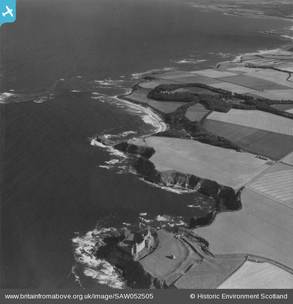
SAW052505 SCOTLAND (1953). Tantallon Castle and Auldhame, general view. An oblique aerial photograph taken facing south-east. This image has been produced from a print.
© Copyright OpenStreetMap contributors and licensed by the OpenStreetMap Foundation. 2025. Cartography is licensed as CC BY-SA.
Details
| Title | [SAW052505] Tantallon Castle and Auldhame, general view. An oblique aerial photograph taken facing south-east. This image has been produced from a print. |
| Reference | SAW052505 |
| Date | 1953 |
| Link | Canmore Collection item 1315371 |
| Place name | |
| Parish | WHITEKIRK AND TYNINGHAME |
| District | EAST LOTHIAN |
| Country | SCOTLAND |
| Easting / Northing | 360196, 684769 |
| Longitude / Latitude | -2.6391750219699, 56.054174353011 |
| National Grid Reference | NT602848 |
Pins
 JMB |
Monday 17th of June 2013 01:14:45 AM |


![[SAW052504] Radio mast, Auldhame, under construction. An oblique aerial photograph taken facing south-west. This image has been produced from a print.](http://britainfromabove.org.uk/sites/all/libraries/aerofilms-images/public/100x100/SAW/052/SAW052504.jpg)
![[SAW052505] Tantallon Castle and Auldhame, general view. An oblique aerial photograph taken facing south-east. This image has been produced from a print.](http://britainfromabove.org.uk/sites/all/libraries/aerofilms-images/public/100x100/SAW/052/SAW052505.jpg)
![[SAW052506] Tantallon Castle and Auldhame, general view. An oblique aerial photograph taken facing east. This image has been produced from a damaged print.](http://britainfromabove.org.uk/sites/all/libraries/aerofilms-images/public/100x100/SAW/052/SAW052506.jpg)