
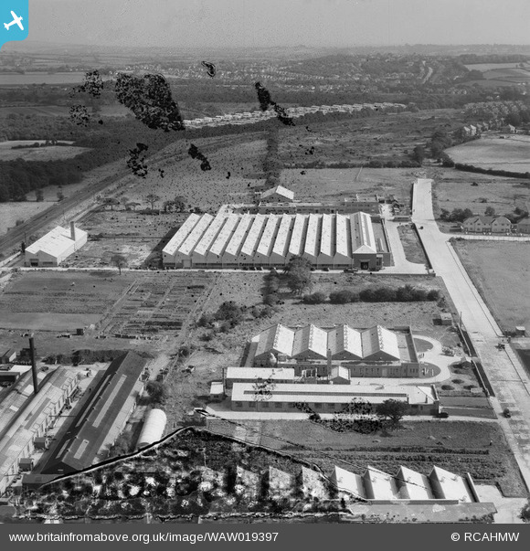
WAW019397 WALES (1948). View of Llanishen showing new factories
© Copyright OpenStreetMap contributors and licensed by the OpenStreetMap Foundation. 2025. Cartography is licensed as CC BY-SA.
Nearby Images (4)
WAW019389

WAW019390

WAW019397

WAW019398

Details
| Title | [WAW019397] View of Llanishen showing new factories |
| Reference | WAW019397 |
| Date | 30-September-1948 |
| Link | Coflein Archive Item 6413954 |
| Place name | |
| Parish | |
| District | |
| Country | WALES |
| Easting / Northing | 316900, 181300 |
| Longitude / Latitude | -3.1979507575474, 51.524012978786 |
| National Grid Reference | ST169813 |
Pins
Be the first to add a comment to this image!