
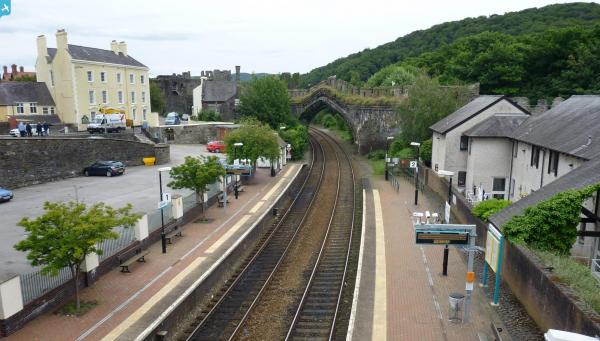
WAW023360 WALES (1949). General view of Conwy showing Blodlondeb woods and mansion

© Copyright OpenStreetMap contributors and licensed by the OpenStreetMap Foundation. 2025. Cartography is licensed as CC BY-SA.
Nearby Images (33)
WAW001726

WAW001727

WAW001728

WAW001736

WAW023353

WAW023354

WAW023355

WAW023356

WAW023357

WAW023358

WAW023359

WAW023360

WPW002047A

WPW002048

WPW002049

WPW002050

WPW002051

WPW002052

WPW002053

WPW002054

WPW002055

WPW009491

WPW009492

WPW009496

WPW009497

WPW009499

WPW009500

WPW040127

WPW040128

WPW051392

WPW051399

WPW055765

WPW055766

Details
| Title | [WAW023360] General view of Conwy showing Blodlondeb woods and mansion |
| Reference | WAW023360 |
| Date | 1949 |
| Link | Coflein Archive Item 6414032 |
| Place name | |
| Parish | |
| District | |
| Country | WALES |
| Easting / Northing | 278055, 377527 |
| Longitude / Latitude | -3.8292169972257, 53.280399107294 |
| National Grid Reference | SH781775 |
Pins
 Alan McFaden |
Monday 1st of September 2014 09:52:30 AM | |
Alan McFaden |
Monday 1st of September 2014 09:51:58 AM | |
Alan McFaden |
Monday 1st of September 2014 09:50:26 AM | |
Alan McFaden |
Monday 1st of September 2014 09:49:56 AM |

User Comment Contributions
 Conwy Castle Town Wall |
Alan McFaden |
Monday 1st of September 2014 09:51:15 AM |
 Conwy Castle |
Alan McFaden |
Monday 1st of September 2014 09:50:48 AM |
Bodlondeb |
 Class31 |
Monday 28th of April 2014 01:18:34 PM |