
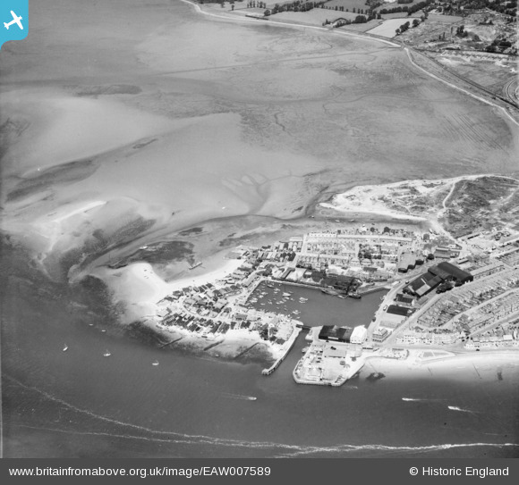
EAW007589 ENGLAND (1947). Exmouth Dock and Cockle Sand, Exmouth, 1947
© Hawlfraint cyfranwyr OpenStreetMap a thrwyddedwyd gan yr OpenStreetMap Foundation. 2024. Trwyddedir y gartograffeg fel CC BY-SA.
Delweddau cyfagos (8)
EAW007589

EPW033463

EPW023666

EPW033465

EPW033462

EAW051152

EAW051153

EPW039693

Manylion
| Pennawd | [EAW007589] Exmouth Dock and Cockle Sand, Exmouth, 1947 |
| Cyfeirnod | EAW007589 |
| Dyddiad | 26-June-1947 |
| Dolen | |
| Enw lle | EXMOUTH |
| Plwyf | EXMOUTH |
| Ardal | |
| Gwlad | ENGLAND |
| Dwyreiniad / Gogleddiad | 299366, 80972 |
| Hydred / Lledred | -3.4227053539112, 50.619177454035 |
| Cyfeirnod Grid Cenedlaethol | SX994810 |
Pinnau
 redmist |
Thursday 12th of January 2023 08:32:02 PM | |
redmist |
Wednesday 11th of January 2023 10:58:36 PM | |
redmist |
Wednesday 11th of January 2023 10:55:54 PM | |
redmist |
Wednesday 11th of January 2023 10:47:52 PM | |
 Matt Aldred edob.mattaldred.com |
Friday 12th of March 2021 12:39:24 AM | |
cptpies |
Tuesday 10th of October 2017 09:00:45 AM | |
Sparky |
Sunday 8th of October 2017 05:10:35 PM |