
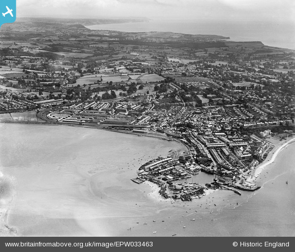
EPW033463 ENGLAND (1930). The Point, Cockle Sand, the town and surrounding countryside, Exmouth, from the west, 1930
© Hawlfraint cyfranwyr OpenStreetMap a thrwyddedwyd gan yr OpenStreetMap Foundation. 2024. Trwyddedir y gartograffeg fel CC BY-SA.
Delweddau cyfagos (10)
EPW033463

EAW007589

EPW023666

EPW033465

EAW051152

EAW051153

EPW039693

EPW033462

EAW007590

EPW023675

Manylion
| Pennawd | [EPW033463] The Point, Cockle Sand, the town and surrounding countryside, Exmouth, from the west, 1930 |
| Cyfeirnod | EPW033463 |
| Dyddiad | July-1930 |
| Dolen | |
| Enw lle | EXMOUTH |
| Plwyf | EXMOUTH |
| Ardal | |
| Gwlad | ENGLAND |
| Dwyreiniad / Gogleddiad | 299446, 80926 |
| Hydred / Lledred | -3.4215622612505, 50.6187776663 |
| Cyfeirnod Grid Cenedlaethol | SX994809 |
Pinnau
 Nozzy |
Tuesday 10th of October 2023 04:37:50 PM |