
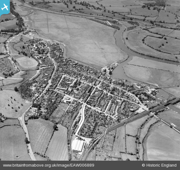
EAW006889 ENGLAND (1947). The town, Tewkesbury, 1947
© Copyright OpenStreetMap contributors and licensed by the OpenStreetMap Foundation. 2024. Cartography is licensed as CC BY-SA.
Nearby Images (6)
EAW006889

EPW023935

EPW023933

EAW006890

EPW023941

EPW023947

Details
| Title | [EAW006889] The town, Tewkesbury, 1947 |
| Reference | EAW006889 |
| Date | 10-June-1947 |
| Link | |
| Place name | TEWKESBURY |
| Parish | TEWKESBURY |
| District | |
| Country | ENGLAND |
| Easting / Northing | 389317, 232954 |
| Longitude / Latitude | -2.1556101524669, 51.994504585717 |
| National Grid Reference | SO893330 |
Pins
 chrispilling |
Thursday 24th of August 2023 12:23:05 PM | |
Sparky |
Tuesday 3rd of October 2017 10:48:51 PM | |
alastair wallace |
Monday 19th of October 2015 07:16:36 PM | |
 Class31 |
Saturday 16th of August 2014 09:37:13 AM | |
Toby Clempson |
Thursday 7th of November 2013 09:56:54 AM | |
Toby Clempson |
Thursday 7th of November 2013 09:56:30 AM | |
Toby Clempson |
Thursday 7th of November 2013 09:55:37 AM | |
Toby Clempson |
Thursday 7th of November 2013 09:54:02 AM | |
Toby Clempson |
Thursday 7th of November 2013 09:53:36 AM | |
Toby Clempson |
Thursday 7th of November 2013 07:08:33 AM | |
Toby Clempson |
Thursday 7th of November 2013 07:08:00 AM | |
Toby Clempson |
Thursday 7th of November 2013 07:06:43 AM | |
Toby Clempson |
Thursday 7th of November 2013 07:05:14 AM | |
Toby Clempson |
Thursday 7th of November 2013 07:04:24 AM | |
Toby Clempson |
Thursday 7th of November 2013 07:03:16 AM | |
Toby Clempson |
Thursday 7th of November 2013 07:00:51 AM | |
Toby Clempson |
Thursday 7th of November 2013 06:58:51 AM | |
Toby Clempson |
Thursday 7th of November 2013 06:57:10 AM | |
Toby Clempson |
Thursday 7th of November 2013 06:48:09 AM |
