
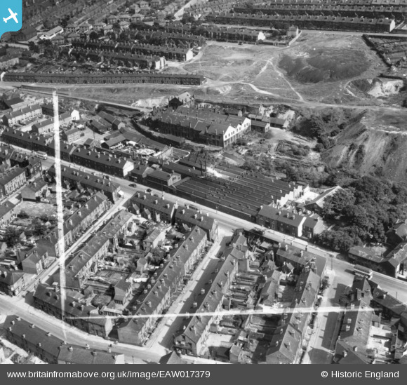
EAW017379 ENGLAND (1948). Holme Lane Works and Limbrick Works, Walkley, 1948. This image has been produced from a print marked by Aerofilms Ltd for photo editing.
© Copyright OpenStreetMap contributors and licensed by the OpenStreetMap Foundation. 2024. Cartography is licensed as CC BY-SA.
Nearby Images (8)
EAW017379

EAW017378

EAW017381

EAW017383

EAW017380

EAW017376

EAW017377

EAW017382

Details
| Title | [EAW017379] Holme Lane Works and Limbrick Works, Walkley, 1948. This image has been produced from a print marked by Aerofilms Ltd for photo editing. |
| Reference | EAW017379 |
| Date | 20-July-1948 |
| Link | |
| Place name | WALKLEY |
| Parish | |
| District | |
| Country | ENGLAND |
| Easting / Northing | 432968, 389461 |
| Longitude / Latitude | -1.5040972990082, 53.400681547286 |
| National Grid Reference | SK330895 |
Pins
 John Wass |
Wednesday 27th of May 2015 04:06:12 PM |