
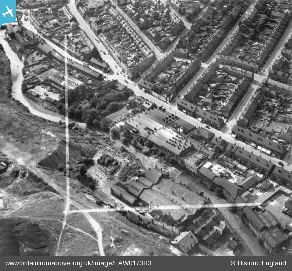
EAW017383 ENGLAND (1948). Holme Lane Works and environs, Walkley, 1948. This image has been produced from a print marked by Aerofilms Ltd for photo editing.
© Copyright OpenStreetMap contributors and licensed by the OpenStreetMap Foundation. 2024. Cartography is licensed as CC BY-SA.
Nearby Images (8)
EAW017383

EAW017381

EAW017379

EAW017378

EAW017382

EAW017377

EAW017380

EAW017376

Details
| Title | [EAW017383] Holme Lane Works and environs, Walkley, 1948. This image has been produced from a print marked by Aerofilms Ltd for photo editing. |
| Reference | EAW017383 |
| Date | 20-July-1948 |
| Link | |
| Place name | WALKLEY |
| Parish | |
| District | |
| Country | ENGLAND |
| Easting / Northing | 432956, 389435 |
| Longitude / Latitude | -1.5042805113465, 53.400448575571 |
| National Grid Reference | SK330894 |
Pins
 No-Duff |
Thursday 12th of May 2016 02:20:43 PM |