
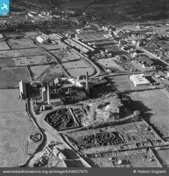
EAW027875 ENGLAND (1950). South Crofty Tin Mine, Pool, 1950
© Copyright OpenStreetMap contributors and licensed by the OpenStreetMap Foundation. 2024. Cartography is licensed as CC BY-SA.
Nearby Images (13)
EAW027875

EAW027871

EAW027873

EAW027870

EAW027872

EAW027874

EAW027876

EAW027869

EAW027879

EAW027880

EAW027878

EAW027877

EPW059615

Details
| Title | [EAW027875] South Crofty Tin Mine, Pool, 1950 |
| Reference | EAW027875 |
| Date | 17-January-1950 |
| Link | |
| Place name | POOL |
| Parish | CARN BREA |
| District | |
| Country | ENGLAND |
| Easting / Northing | 166749, 41288 |
| Longitude / Latitude | -5.270559928989, 50.224898194243 |
| National Grid Reference | SW667413 |
Pins
Be the first to add a comment to this image!