
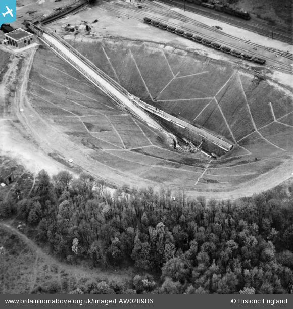
EAW028986 ENGLAND (1950). Dragonby Ironstone Mine, Flixborough, 1950
© Copyright OpenStreetMap contributors and licensed by the OpenStreetMap Foundation. 2024. Cartography is licensed as CC BY-SA.
Nearby Images (7)
EAW028986

EAW028988

EAW028987

EAW028992

EAW028989

EAW028985

EAW028984

Details
| Title | [EAW028986] Dragonby Ironstone Mine, Flixborough, 1950 |
| Reference | EAW028986 |
| Date | 8-May-1950 |
| Link | |
| Place name | FLIXBOROUGH |
| Parish | FLIXBOROUGH |
| District | |
| Country | ENGLAND |
| Easting / Northing | 490485, 414753 |
| Longitude / Latitude | -0.6318109736742, 53.621252457354 |
| National Grid Reference | SE905148 |
Pins
Be the first to add a comment to this image!