
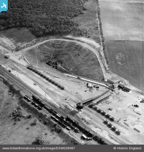
EAW028987 ENGLAND (1950). Dragonby Ironstone Mine, Flixborough, 1950
© Copyright OpenStreetMap contributors and licensed by the OpenStreetMap Foundation. 2024. Cartography is licensed as CC BY-SA.
Nearby Images (7)
EAW028987

EAW028989

EAW028988

EAW028986

EAW028985

EAW028984

EAW028992

Details
| Title | [EAW028987] Dragonby Ironstone Mine, Flixborough, 1950 |
| Reference | EAW028987 |
| Date | 8-May-1950 |
| Link | |
| Place name | FLIXBOROUGH |
| Parish | FLIXBOROUGH |
| District | |
| Country | ENGLAND |
| Easting / Northing | 490406, 414705 |
| Longitude / Latitude | -0.63301906821032, 53.620834740749 |
| National Grid Reference | SE904147 |
Pins
 MB |
Saturday 22nd of February 2014 12:08:41 PM | |
MB |
Saturday 22nd of February 2014 12:07:31 PM | |
MB |
Saturday 22nd of February 2014 12:06:18 PM |