Scheduled Maintenance
This website will undergo scheduled maintenance on Tuesday, September 10th, between 11:00 and 15:00, as well as on Thursday, September 12th, between 10:00 and 12:00. During this time, services may be temporarily disrupted. We apologise for any inconvenience.
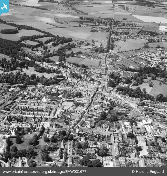
EAW031677 ENGLAND (1950). The town centre, Cirencester, 1950
© Copyright OpenStreetMap contributors and licensed by the OpenStreetMap Foundation. 2024. Cartography is licensed as CC BY-SA.
Nearby Images (19)
EAW031677

EPW022407

EPW022412

EAW031680

EPW022416

EPW022410

EPW006310

EAW031681

EAW015789

EAW015788

EAW006877

EPW022413

EPW061776

EPW061775

EPW061780

EAW015790

EAW031679

EPW022417

EAW006878

Details
| Title | [EAW031677] The town centre, Cirencester, 1950 |
| Reference | EAW031677 |
| Date | 3-August-1950 |
| Link | |
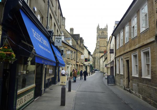
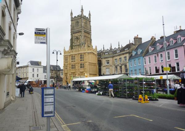
| Place name | CIRENCESTER |
| Parish | CIRENCESTER |
| District | |
| Country | ENGLAND |
| Easting / Northing | 402186, 202054 |
| Longitude / Latitude | -1.968353854604, 51.716751499776 |
| National Grid Reference | SP022021 |
Pins
 gBr |
Sunday 30th of August 2015 06:07:39 PM | |
 Alan McFaden |
Wednesday 21st of May 2014 09:33:30 PM | |
Alan McFaden |
Wednesday 21st of May 2014 09:32:41 PM |