
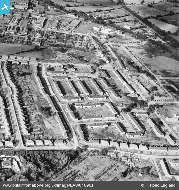
EAW046961 ENGLAND (1952). Penscroft Gardens and environs, Borehamwood, 1952
© Copyright OpenStreetMap contributors and licensed by the OpenStreetMap Foundation. 2024. Cartography is licensed as CC BY-SA.
Nearby Images (7)
EAW046961

EAW046960

EAW044303

EAW046964

EPW057943
 and eastern Borehamwood under construction, Borehamwood, from the south-west, 1938")
EAW046962

EAW044273

Details
| Title | [EAW046961] Penscroft Gardens and environs, Borehamwood, 1952 |
| Reference | EAW046961 |
| Date | 22-September-1952 |
| Link | |
| Place name | BOREHAMWOOD |
| Parish | ELSTREE AND BOREHAMWOOD |
| District | |
| Country | ENGLAND |
| Easting / Northing | 520698, 196328 |
| Longitude / Latitude | -0.25510419723866, 51.652303337721 |
| National Grid Reference | TQ207963 |
Pins
Be the first to add a comment to this image!