
Scheduled Maintenance
This website will undergo scheduled maintenance on Tuesday, September 10th, between 11:00 and 15:00, as well as on Thursday, September 12th, between 10:00 and 12:00. During this time, services may be temporarily disrupted. We apologise for any inconvenience.
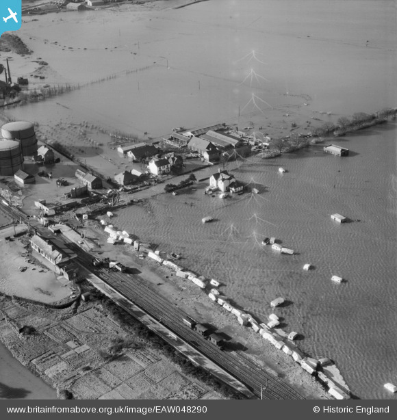
EAW048290 ENGLAND (1953). Flooding at Walton Avenue, Felixstowe, 1953
© Copyright OpenStreetMap contributors and licensed by the OpenStreetMap Foundation. 2024. Cartography is licensed as CC BY-SA.
Nearby Images (4)
EAW048290

EAW048291

EAW048297

EAW048298

Details
| Title | [EAW048290] Flooding at Walton Avenue, Felixstowe, 1953 |
| Reference | EAW048290 |
| Date | 2-February-1953 |
| Link | |
| Place name | FELIXSTOWE |
| Parish | FELIXSTOWE |
| District | |
| Country | ENGLAND |
| Easting / Northing | 629115, 233599 |
| Longitude / Latitude | 1.3347041048114, 51.953170853317 |
| National Grid Reference | TM291336 |
