
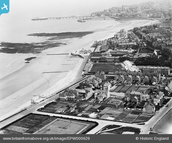
EPW000629 ENGLAND (1920). Westbrook, Margate, from the west, 1920
© Copyright OpenStreetMap contributors and licensed by the OpenStreetMap Foundation. 2024. Cartography is licensed as CC BY-SA.
Nearby Images (3)
EPW000629

EPW018608

EPW039396

Details
| Title | [EPW000629] Westbrook, Margate, from the west, 1920 |
| Reference | EPW000629 |
| Date | April-1920 |
| Link | |
| Place name | WESTBROOK |
| Parish | |
| District | |
| Country | ENGLAND |
| Easting / Northing | 634108, 170457 |
| Longitude / Latitude | 1.364932756827, 51.384295462601 |
| National Grid Reference | TR341705 |
Pins
Be the first to add a comment to this image!