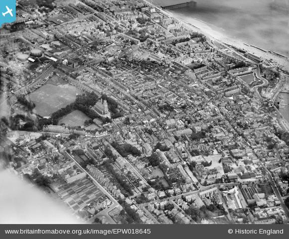
EPW018645 ENGLAND (1927). St George's Church and the town, Ramsgate, 1927
© Copyright OpenStreetMap contributors and licensed by the OpenStreetMap Foundation. 2024. Cartography is licensed as CC BY-SA.
Nearby Images (5)
EPW018645

EPW018647

EPW052884

EPW000603

EPW052883

Details
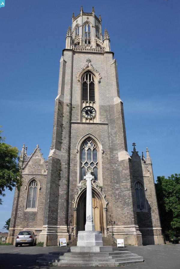
| Title | [EPW018645] St George's Church and the town, Ramsgate, 1927 |
| Reference | EPW018645 |
| Date | 22-June-1927 |
| Link | |
| Place name | RAMSGATE |
| Parish | RAMSGATE |
| District | |
| Country | ENGLAND |
| Easting / Northing | 638180, 165110 |
| Longitude / Latitude | 1.4197698805093, 51.334603250679 |
| National Grid Reference | TR382651 |
Pins
 Alan McFaden |
Sunday 13th of July 2014 05:38:30 PM | |
Alan McFaden |
Sunday 13th of July 2014 05:37:39 PM | |
Alan McFaden |
Sunday 13th of July 2014 05:36:55 PM | |
Alan McFaden |
Sunday 13th of July 2014 05:36:08 PM | |
Alan McFaden |
Sunday 13th of July 2014 05:35:21 PM | |
 ladyland68 |
Friday 16th of November 2012 12:33:07 AM | |
EZTD |
Monday 2nd of July 2012 10:03:21 PM | |
EZTD |
Monday 2nd of July 2012 10:03:07 PM | |
EZTD |
Monday 2nd of July 2012 10:02:10 PM |