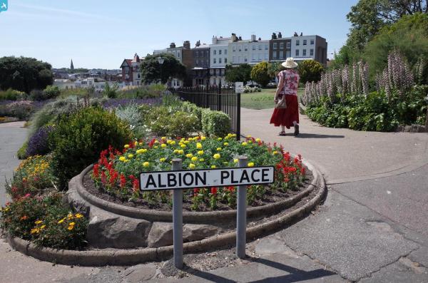
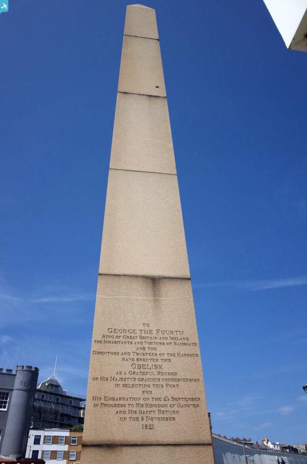
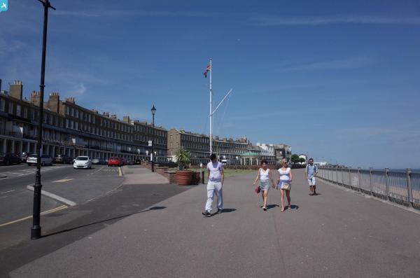
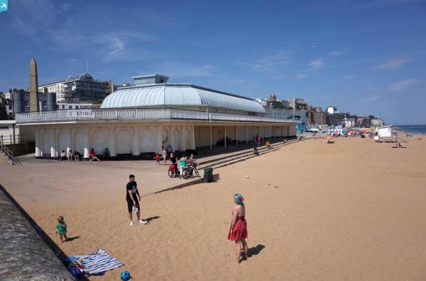
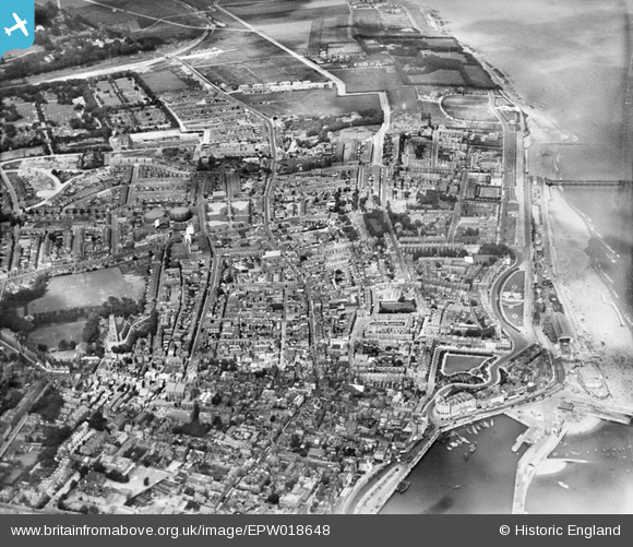
EPW018648 ENGLAND (1927). The town around King Street down to the sea front, Ramsgate, 1927
© Copyright OpenStreetMap contributors and licensed by the OpenStreetMap Foundation. 2024. Cartography is licensed as CC BY-SA.
Nearby Images (2)
EPW018648

EPW052884

Details
| Title | [EPW018648] The town around King Street down to the sea front, Ramsgate, 1927 |
| Reference | EPW018648 |
| Date | 22-June-1927 |
| Link | |
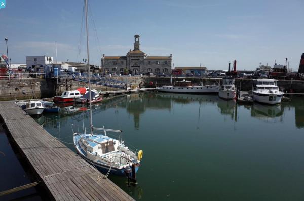
| Place name | RAMSGATE |
| Parish | RAMSGATE |
| District | |
| Country | ENGLAND |
| Easting / Northing | 638506, 165250 |
| Longitude / Latitude | 1.4245353353466, 51.335723349968 |
| National Grid Reference | TR385653 |
Pins
 Rambler |
Tuesday 7th of February 2017 09:15:57 PM | |
Rambler |
Tuesday 7th of February 2017 09:14:02 PM | |
Rambler |
Tuesday 7th of February 2017 09:10:08 PM | |
Rambler |
Tuesday 7th of February 2017 09:10:05 PM | |
 Alan McFaden |
Sunday 13th of July 2014 05:44:34 PM | |
Alan McFaden |
Sunday 13th of July 2014 05:43:45 PM | |
Alan McFaden |
Sunday 13th of July 2014 05:42:56 PM | |
Alan McFaden |
Sunday 13th of July 2014 05:42:06 PM | |
Alan McFaden |
Sunday 13th of July 2014 05:41:27 PM | |
Alan McFaden |
Sunday 13th of July 2014 05:40:57 PM | |
peteru3922 |
Monday 13th of May 2013 04:21:15 PM | |
EZTD |
Monday 2nd of July 2012 09:50:08 PM | |
EZTD |
Monday 2nd of July 2012 09:44:15 PM | |
EZTD |
Monday 2nd of July 2012 09:42:49 PM |