
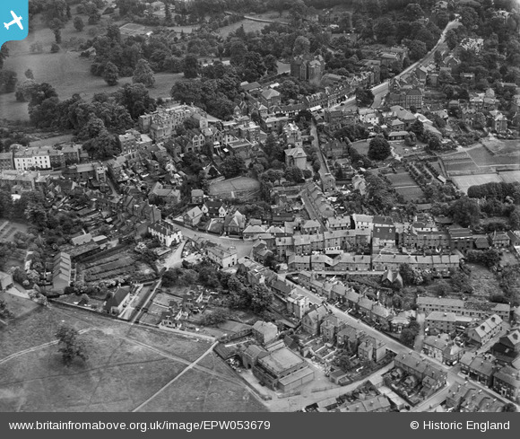
EPW053679 ENGLAND (1937). West Street and the town, Harrow on the Hill, from the north-west, 1937
© Copyright OpenStreetMap contributors and licensed by the OpenStreetMap Foundation. 2024. Cartography is licensed as CC BY-SA.
Nearby Images (19)
EPW053679

EPW000469

EPW000468

EAW024232

EPW000467

EAW024233

EPW025547

EPW000462

EAW042768

EPW000461

EPW000463

EAW042771

EPW006290

EPW005357

EAW014888

EAW042770

EPW005356

EAW042772

EAW042769

Details
| Title | [EPW053679] West Street and the town, Harrow on the Hill, from the north-west, 1937 |
| Reference | EPW053679 |
| Date | 12-June-1937 |
| Link | |
| Place name | HARROW ON THE HILL |
| Parish | |
| District | |
| Country | ENGLAND |
| Easting / Northing | 515116, 187242 |
| Longitude / Latitude | -0.33874875966101, 51.571804409296 |
| National Grid Reference | TQ151872 |
Pins
 The Laird |
Saturday 17th of November 2018 11:03:30 PM | |
Mistaron |
Thursday 5th of March 2015 12:32:27 AM | |
The Laird |
Tuesday 7th of January 2014 10:30:41 AM | |
JamesMac |
Thursday 29th of August 2013 03:07:02 AM |