
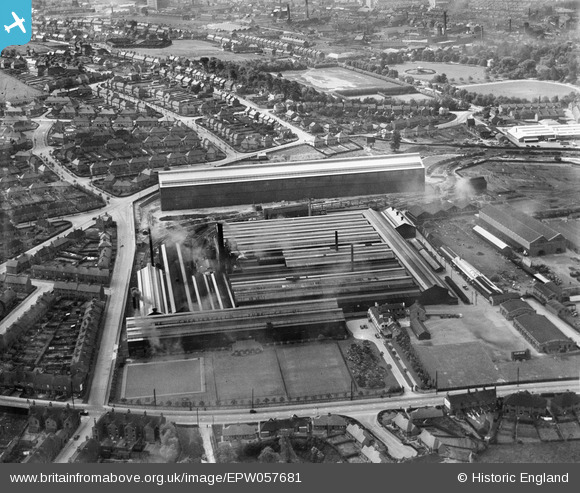
EPW057681 ENGLAND (1938). The Chesterfield Tube Company Ltd Works and environs, Chesterfield, 1938
© Copyright OpenStreetMap contributors and licensed by the OpenStreetMap Foundation. 2024. Cartography is licensed as CC BY-SA.
Nearby Images (7)
EPW057681

EPW057679

EPW057682

EPW057683

EPW057680

EPW057685

EPW057684

Details
| Title | [EPW057681] The Chesterfield Tube Company Ltd Works and environs, Chesterfield, 1938 |
| Reference | EPW057681 |
| Date | 20-June-1938 |
| Link | |
| Place name | CHESTERFIELD |
| Parish | |
| District | |
| Country | ENGLAND |
| Easting / Northing | 438325, 370330 |
| Longitude / Latitude | -1.4258342605081, 53.228345669946 |
| National Grid Reference | SK383703 |
Pins
Be the first to add a comment to this image!