
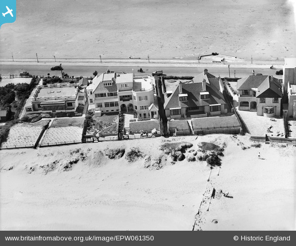
EPW061350 ENGLAND (1939). Houses on Banks Road, Sandbanks, 1939
© Copyright OpenStreetMap contributors and licensed by the OpenStreetMap Foundation. 2024. Cartography is licensed as CC BY-SA.
Nearby Images (12)
EPW061350

EPW061351

EPW061353

EPW061354

EPW061349

EPW061352

EPW061367

EPW061370

EPW061366

EPW061365

EPW061368

EPW061369

Details
| Title | [EPW061350] Houses on Banks Road, Sandbanks, 1939 |
| Reference | EPW061350 |
| Date | 4-June-1939 |
| Link | |
| Place name | SANDBANKS |
| Parish | |
| District | |
| Country | ENGLAND |
| Easting / Northing | 404730, 88001 |
| Longitude / Latitude | -1.9330291835006, 50.691062114146 |
| National Grid Reference | SZ047880 |
Pins
Be the first to add a comment to this image!
User Comment Contributions
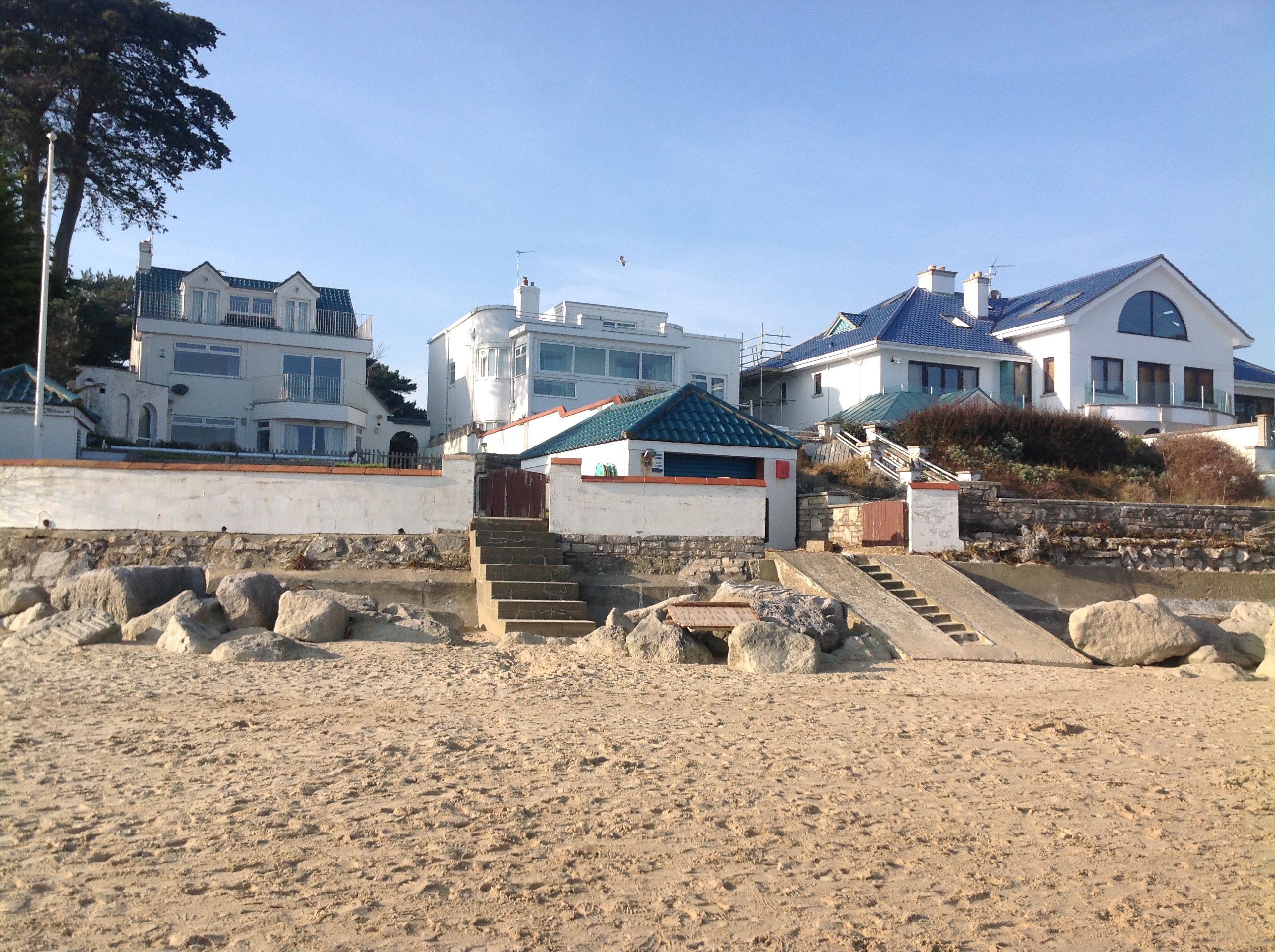 Houses on Banks Road 8/3/2014. Not necessarily the same houses! |
 Class31 |
Monday 10th of March 2014 03:32:31 PM |