
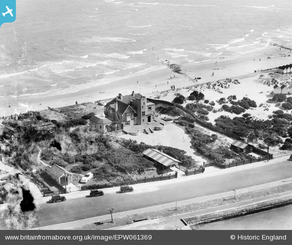
EPW061369 ENGLAND (1939). Storm House on Banks Road, Sandbanks, 1939
© Copyright OpenStreetMap contributors and licensed by the OpenStreetMap Foundation. 2024. Cartography is licensed as CC BY-SA.
Nearby Images (15)
EPW061369

EPW061368

EPW061365

EPW061367

EPW061370

EPW061366

EPW061352

EPW061349

EPW061354

EPW061353

EPW061351

EPW061350

EAW010739

EPW041054

EPW041053

Details
| Title | [EPW061369] Storm House on Banks Road, Sandbanks, 1939 |
| Reference | EPW061369 |
| Date | 4-June-1939 |
| Link | |
| Place name | SANDBANKS |
| Parish | |
| District | |
| Country | ENGLAND |
| Easting / Northing | 404629, 87914 |
| Longitude / Latitude | -1.9344603049575, 50.690280470775 |
| National Grid Reference | SZ046879 |
Pins
Be the first to add a comment to this image!