
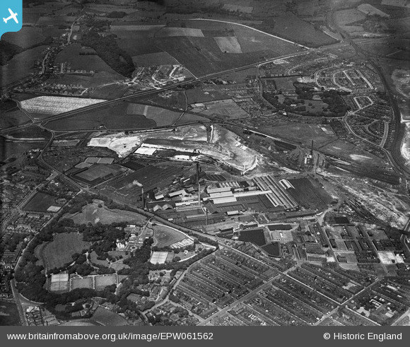
EPW061562 ENGLAND (1939). The Gerard's Bridge Plate Glass Works and Victoria Park, St Helens, 1939
© Copyright OpenStreetMap contributors and licensed by the OpenStreetMap Foundation. 2024. Cartography is licensed as CC BY-SA.
Nearby Images (22)
EPW061562

EAW012389

EAW012388

EAW012393

EAW012387

EAW013766

EAW013763

EPW061563

EPW009319

EPW061567

EPW061571

EAW013758

EAW013757

EPW009317

EPW061565

EPW009318

EPW061564

EAW012390

EPW009311

EPW009316

EAW012392

EPW061570

Details
| Title | [EPW061562] The Gerard's Bridge Plate Glass Works and Victoria Park, St Helens, 1939 |
| Reference | EPW061562 |
| Date | 4-June-1939 |
| Link | |
| Place name | ST HELENS |
| Parish | |
| District | |
| Country | ENGLAND |
| Easting / Northing | 351158, 396789 |
| Longitude / Latitude | -2.7357972718118, 53.46532140591 |
| National Grid Reference | SJ512968 |
